I lay in bed with the TV flickering on a random daytime show that makes no sense nor do I care who the actual baby daddy is. This is the zero day that I had in Grants, it didn’t involve moving because of my aching foot that was tender to each step that I had taken. The rest of the group had left that morning but I knew that an extra day would give my foot the rest it needed to make it to Cuba, which was the next destination for my next segment.
Grants is small towns that once use to be a booming city for Uranium mining and use to have one of the biggest and most productive Uranium mines in the country. As the local shuttle drive told me high school kids were dropping out of school to go work the mines for the average starting salary of $80,000 per year, creating a huge void in the school system. Once the government stopped buying the Uranium, the mine laid off 4,000 people overnight, starting a mass exodus out of the town. Grant has since recovered but you can still see the boarded up shops of the downtown but you can still feel the local pride by its banners and its people.
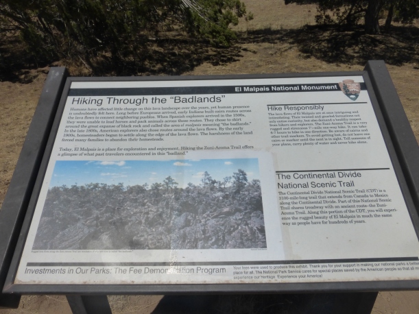
After resting in the hotel room, doing some shopping at Wal-Mart and getting a resupply box ready to be shipped to Ghost Ranch it was time to leave. My foot was feeling a little better but I was ready to keep moving. I’ve learned the longer I stay in town the more comfortable I get and the more my head starts spinning with ideas. I called the local shuttle to give me a ride to the post office and then to the Mumm’s who are local trail angels and were holding a new bladder system I had ordered from REI. I was tired of always taking my pack off to drink water so wanted to try this new hydration system. The Mumm’s are great people who leave out water caches at the start of the Malapais, entering the final canyon towards grants and one final one on the last stretch up Mt. Taylor. They are wonderful people with a big heart and I was happy to meet them and give them a much-needed donation.
I got to the trailhead for the next segment and began the long hike to the base of Mt. Taylor, hiking about 10 miles that day to the water cache left by the Mumm’s. I like staying next to caches as you can drink all you want and then camel up in the morning for the next day. This was my first section alone since the border and I was actually happy to be hiking alone for this part. I was able to hike at my own pace, my own schedule and gave me some time to think about the journey so far.
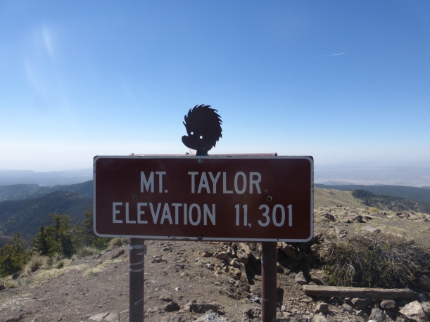
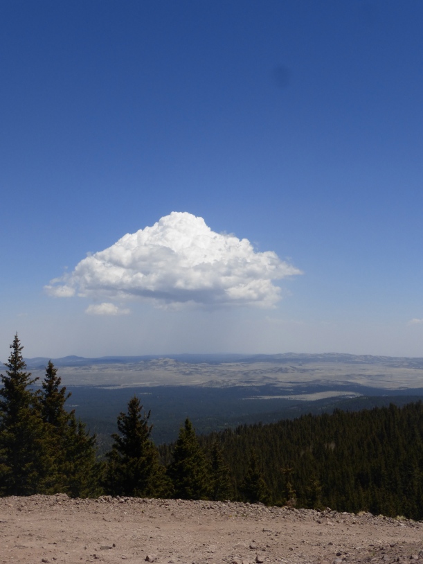
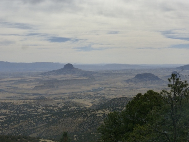
I hiked up the 11,301 ft summit of Mt. Taylor, a leftover ridge from a volcano that had exploded many millions of years ago, now making it the high point of the CDT in New Mexico. I was so happy to be gaining some elevation and the straight up trail and eventual switchbacks brought me back to this realization. I summited Mt. Taylor in the morning with the sun rising over the huge horizon that laid before me. To the south were the mountains I had walked through to reach Grants and to the west were the open plains of the desert landscape that hid Arizona not far away. To the east and north you could see the next ridges and plateaus that would be my home for the next couple of days as I hiked on top of expanding Mesa’s. I spent a little bit of time on top before making the descent down the mountain, following forest roads to my next water source, American Spring. This was one of the nicest springs I had seen so far and was happy to get the water out of the pipe that was surrounded by great meadow full of grass and glorious shade. What a change from the low-lying desert areas that had been my home for so long. I ate a nice leisurely lunch there before continuing my trip down the mountain. That day I hiked 27 miles making camp in a patch of tree’s after getting a burst of energy from Skrillz on my newly downloaded Spotify app. Yes, some say technology is wrong in the woods but music is a great companion after a long day, especially Bob Marley.
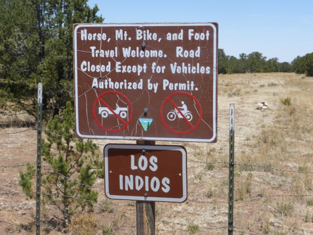
The next day brought a boring road walk that seemed to never end. It finally did at my next water source, Los Indios Spring. This is the point where I’ve made one of my most stupidest mistakes of the CDT so far and taught me to read and then reread my map notes 10 times before making my next move. The sign read Los Indios spring .5 miles so I thought that it was that far past the gate I had to walk through and down the 200ft canyon as noted on the maps. I walked the .5 miles past the gate but, still no turn off or canyon. I still saw foot prints so I kept walking, thinking the makers of the signs had made a mistake and I decided to keep on going. I ended up stupidly walking about 3 miles before deciding to reread my maps and take the point of view of the southbound hiker and reading that at the gate you would go .5 miles down the canyon to the spring. So this meant I had to walk the 3 miles back, go the .5 miles down the 200 ft canyon to get the water. I don’t think I’ve ever walked so pissed off before in my life. I walked back, got to the spring and threw down my pack in anger. I knew I had made a mistake and being out of water for the last hour made me even more mad. Why did I make this mistake? What was I thinking? All of these things ran through my head to learn from the mistake I had just made and to not do it again but I knew that I would.
After coming down off the high plateau and the breath taking view it provided it was back down to the desert floor where the fear of rattle snakes, heat and water resurfaced. It was miserable. That section of trail was miserable for me.
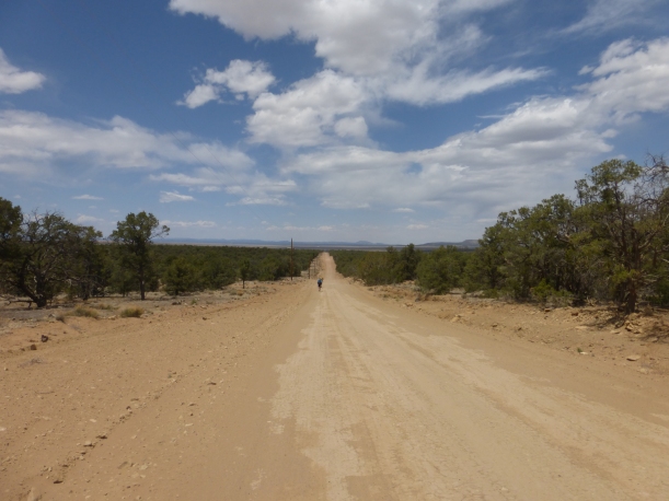
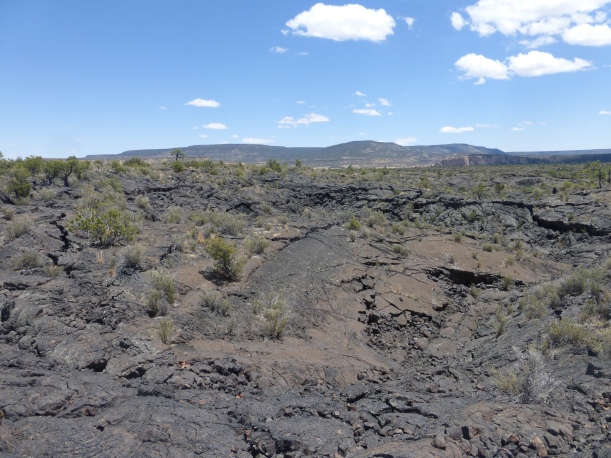
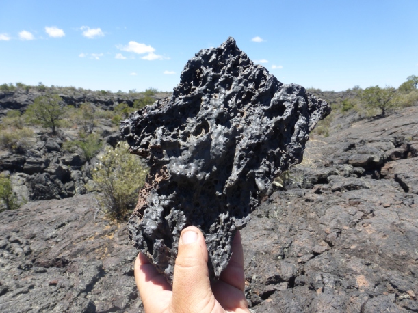
It was hot, the landscape was Mars like and it had no appeal for me. It was only about 20 miles worth but it put me in such a bad mood that I found myself walking faster and harder then ever before. After finally being in the tree’s and seeing green beautiful grass it was hard to right away switch back to the desert style hiking I had been enduring for weeks.
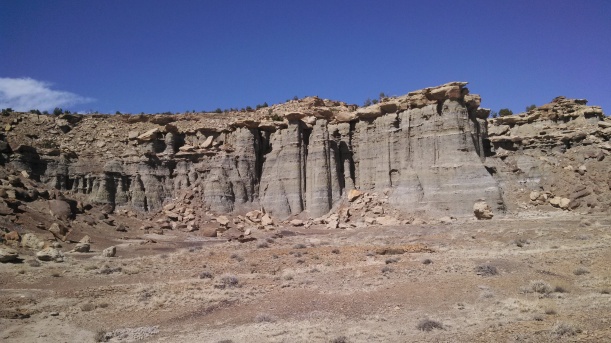
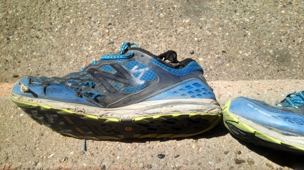
The last 20 miles before Cuba was a gorgeous change from the previous miles in the ugly desert because you spent so much time high on the plateaus that surround the area with wonderful rock formations, wonderful expanding views and cairned trail that was easy to follow. It reminded me of hiking Utah which is one of my most sacred places to hike in the world. I happily followed the cairned route up and down the mesa skirting the edge and then back to the middle again with my shoes filled with sand. My shoes were dying and I couldn’t wait to get my nice new pair once I got to Cuba, saying good bye to these after 530 miles of hard walking.
I walked into Cuba at 9 pm that night on Memorial Day, road walking the last 4 miles in the dimming light of the day as people drove home from parties and celebrations. I was happy to get to town and plop down on the bed knowing that another section was done and a good rest was coming my way. I lay on the floor of the shower with the water hitting my tired and bruised body knowing that this section was now done and that I was eating away at my eventual end of New Mexico.
